Land Survey

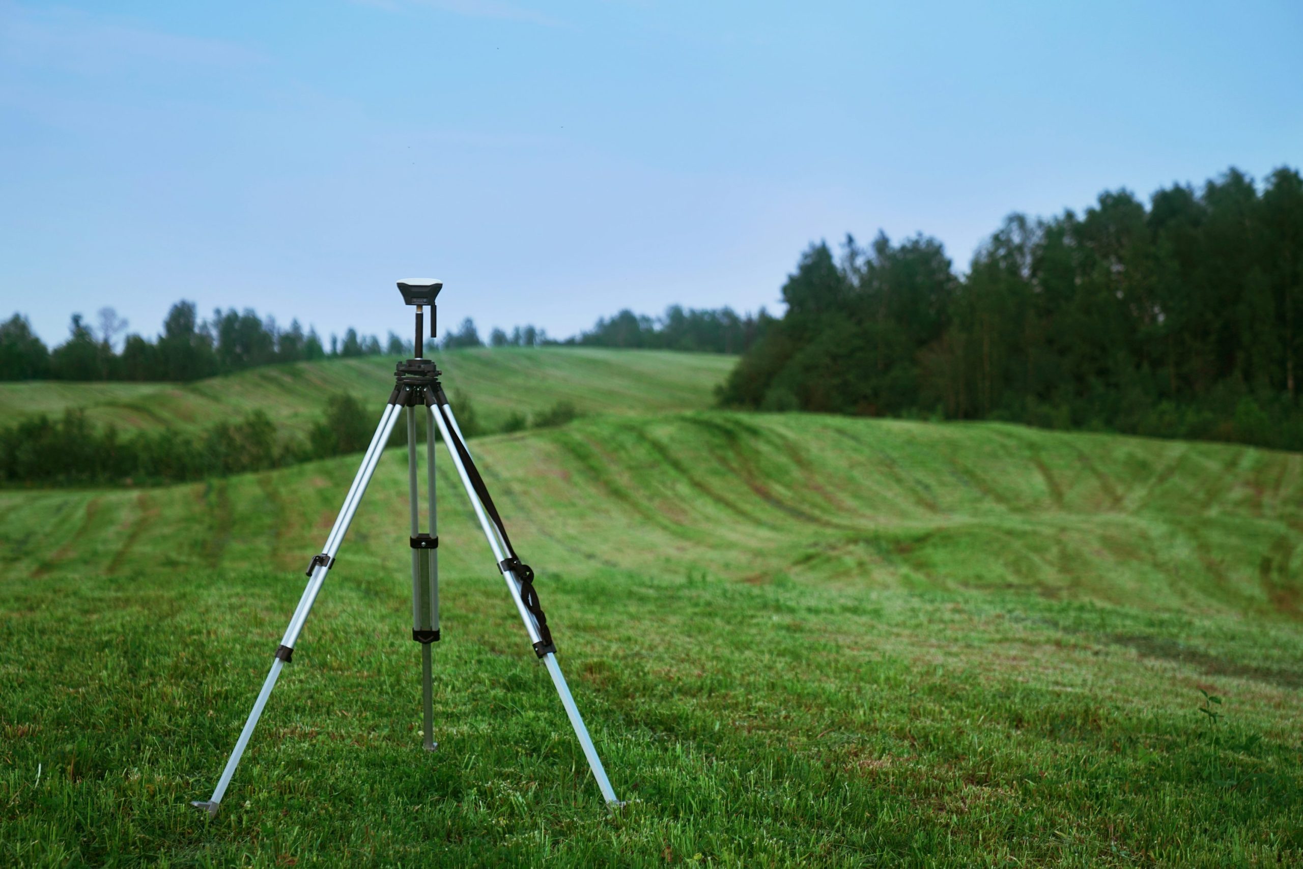
A topographical survey, or topo survey, maps the natural and man-made features of land, including elevation changes, contours, rivers, roads, and other key physical attributes. It is essential in urban planning, engineering design, and landscape architecture, providing a detailed representation of the land's existing conditions.
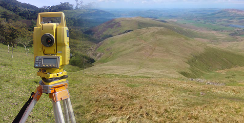
A contour survey is a specific type of topographical survey that emphasizes the measurement and mapping of elevation changes on the land. By creating contour lines, which connect points of equal elevation, this survey helps visualize the shape and slope of the terrain.

Drone surveys, also known as aerial surveys or UAV (Unmanned Aerial Vehicle) surveys, involve the use of drones equipped with cameras or other sensors to capture high- resolution aerial images of a site. These surveys offer a cost-effective and efficient way to collect data for mapping, monitoring, and assessing large areas.
Cadastral surveys focus on defining and demarcating land boundaries for legal and administrative purposes. These surveys are crucial for property ownership, land registration, and taxation. Cadastral surveyors work to establish accurate property lines, preventing disputes and ensuring a clear understanding of land ownership rights.

Engineering surveys are conducted to support c0nstruction projects by providing precise measurements and data for design and layout purposes. This type of survey includes tasks such as establishing control points, setting out building locations, and monitoring construction activities.