Topographical Survey
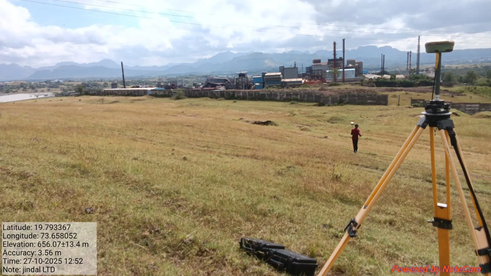
A topographical survey (topo survey) provides precise mapping of both natural and man-made features of land, including elevation changes, contours, rivers, roads, and other essential physical attributes. This survey is vital for urban planning, civil engineering, construction projects, and landscape architecture, offering a detailed and accurate representation of existing land conditions. Our expert land surveyors ensure reliable data for engineering design, site development, and infrastructure planning.
Contour Survey
A contour survey is a specific type of topographical survey that emphasizes the measurement and mapping of elevation changes on the land. By creating contour lines, which connect points of equal elevation, this survey helps visualize the shape and slope of the terrain.

Drone Surveys
Drone surveys (UAV surveys) use drones equipped with high-resolution cameras or sensors to capture aerial images and data of land and construction sites. They provide a fast, cost-effective, and accurate solution for mapping, monitoring, and assessing large areas, ideal for urban planning, construction, and land development projects.
Cadastral Surveys
Cadastral surveys are conducted to accurately define and demarcate land boundaries for legal, administrative, and property management purposes. These surveys are essential for land ownership verification, property registration, taxation, and dispute prevention. Professional cadastral surveyors ensure precise property lines, helping maintain clear land ownership records and avoid conflicts.
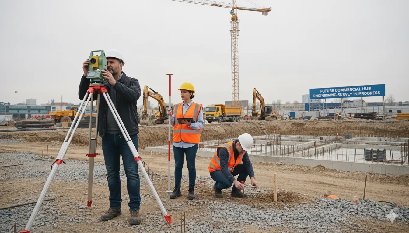
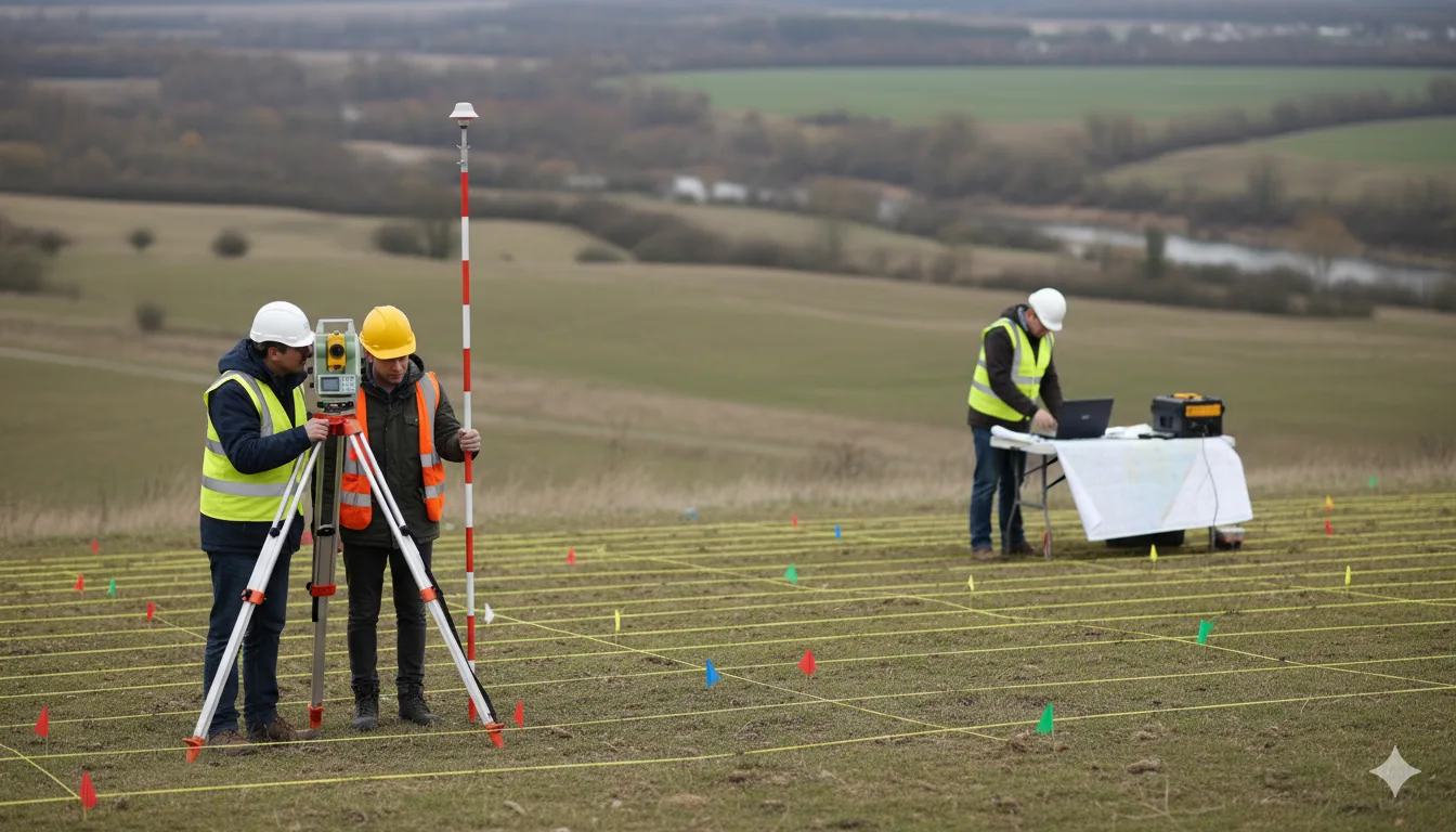
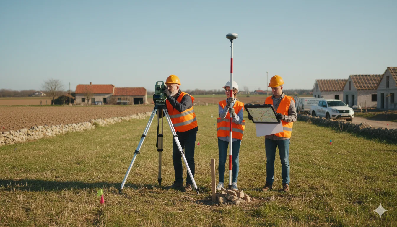
Engineering Surveys
Engineering surveys provide accurate measurements and data to support construction and infrastructure projects. These surveys involve establishing control points, setting out building locations, and monitoring construction progress to ensure precise design implementation and project efficiency. Professional engineering surveys help reduce errors, save costs, and maintain project quality.
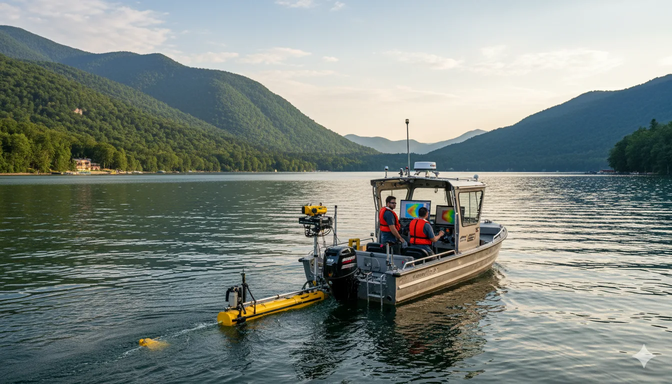
Bathymetric Surveys
Bathymetric surveys map underwater depths and terrain using advanced sonar and GPS technology. GeoSpectra provides accurate hydrographic survey services in India for rivers, lakes, and coastal areas. Our precise data supports dredging, navigation safety, and sustainable marine infrastructure development.
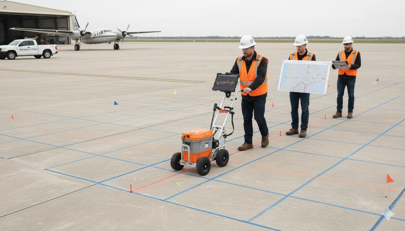
Ground Penetrating Radar (GPR) Surveys
Ground Penetrating Radar (GPR) surveys use radar technology to detect and map subsurface features without excavation. They help locate buried utilities, pipelines, voids, and rebar with high accuracy. Widely used in civil engineering, geotechnical studies, and construction, GeoSpectra’s GPR surveys provide reliable data for safe and efficient infrastructure development across India.
- Underground infrastructure mapping (foundations, tanks, trench, etc.)
- Structure Scanning (rebar locations, void detection, etc.)
- Highway & Railway Inspection (voids, subgrade & sub-base, settlements)
- Railway ballast investigation

Utility Surveys
Utility surveys help detect and map underground utilities such as pipelines, electrical cables, telecom lines, and drainage systems before construction. Using advanced GPR, electromagnetic locators, and GPS technology, GeoSpectra provides accurate utility mapping for safe excavation and infrastructure planning across India.
- Underground Utility Mapping (water pipelines, sewer drains, cables)
- Underground Leakage Detection (water leakage)
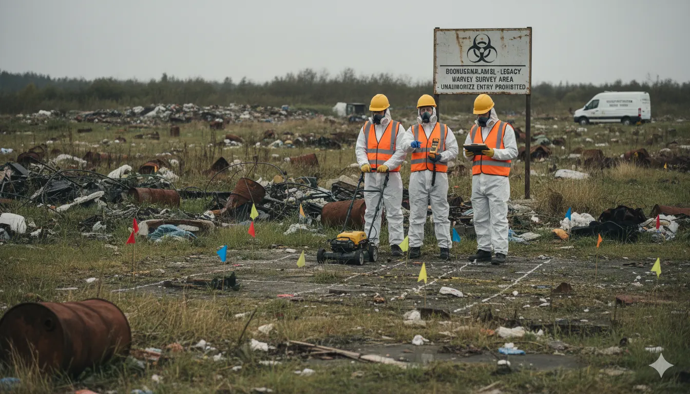
Survey for Legacy Waste
Legacy waste surveys map and assess old landfill sites to support sustainable waste management and land reclamation. Using GPR, drone mapping, and geotechnical techniques, GeoSpectra provides accurate data on waste depth, composition, and spread. These surveys help local authorities and environmental agencies plan safe and effective legacy waste remediation across India.
