Published by GeoSpectra Geotechnical Pvt. Ltd.
GPR Survey Before Excavation: Why It Matters
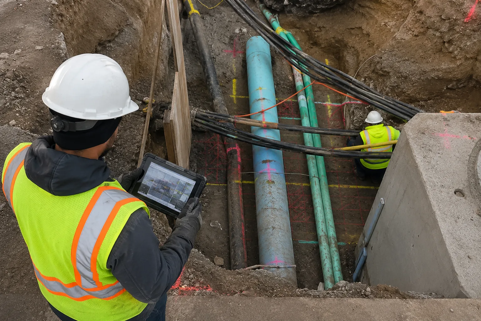
Excavation is often the point where hidden subsurface conditions become a real construction risk. Existing water pipelines, electrical and communication cables, drainage lines, old foundations, buried structures and subsurface voids may not be visible from the ground surface. If their locations are unknown, excavation can result in utility damage, work stoppages, unexpected repair costs and safety concerns.
A Ground Penetrating Radar (GPR) survey provides a non-destructive way to investigate the planned excavation area before ground disturbance begins. By scanning the surface and analysing reflected radar signals, GPR can help identify subsurface features and provide information about their approximate location and depth.
GeoSpectra provides pre-excavation GPR survey services for construction, infrastructure, utility and industrial projects across India. The survey can be used as part of excavation planning to give project teams better information about existing subsurface conditions before work starts.
What Is a GPR Survey Before Excavation?
A pre-excavation GPR survey is a targeted subsurface investigation carried out over an area where excavation, trenching, foundation work or other ground-disturbing activity is planned.
The GPR antenna transmits electromagnetic pulses into the ground. When the signal encounters a change in subsurface material or a buried feature, part of the signal is reflected back to the receiving antenna. The collected data is then processed and interpreted to identify subsurface responses that may correspond to utilities, pipes, voids, buried structures or changes in ground conditions.
The objective is not simply to produce a radar image. The survey data needs to be interpreted in relation to the site conditions, surface features, available utility drawings and the actual excavation requirements.
Why Conduct GPR Before Excavation?
Existing utility drawings and site records are useful for planning, but underground conditions can change over time and records may not always represent the current site accurately. A subsurface survey provides an additional source of field information before excavation begins.
- Reduce the risk of utility strikes: identify potential buried pipes, cables and other subsurface features before excavation.
- Improve excavation planning: use interpreted locations and approximate depths to plan trench and excavation activities.
- Reduce unexpected delays: identify potential subsurface conflicts before they interrupt construction work.
- Protect existing infrastructure: investigate areas containing known or suspected underground services.
- Support safer site execution: provide the excavation team with additional subsurface information before intrusive work begins.
What Can GPR Detect Before Excavation?
Depending on ground conditions, target characteristics, antenna frequency and survey objectives, GPR can be used to investigate a range of buried features.
- Water and drainage pipelines
- Electrical and communication cables
- Plastic, concrete and other non-metallic utilities
- Buried tanks and chambers
- Old foundations and buried structural elements
- Voids and cavities
- Buried debris and unexpected subsurface obstructions
- Changes between different subsurface materials or layers
GPR should not be treated as a guarantee that every underground utility will be detected. Detection quality depends on the electrical properties of the ground, target size and material, depth, antenna selection, surface conditions and the presence of interfering features.
How Does a Pre-Excavation GPR Survey Work?
A professional pre-excavation survey normally begins with understanding the proposed excavation area and the information required by the project team. The survey coverage and scanning pattern are then selected according to the site and project requirements.
1. Site and Excavation Area Assessment
The survey team reviews the proposed excavation footprint, available drawings, visible utility indicators, access conditions and the objectives of the investigation.
2. GPR Data Acquisition
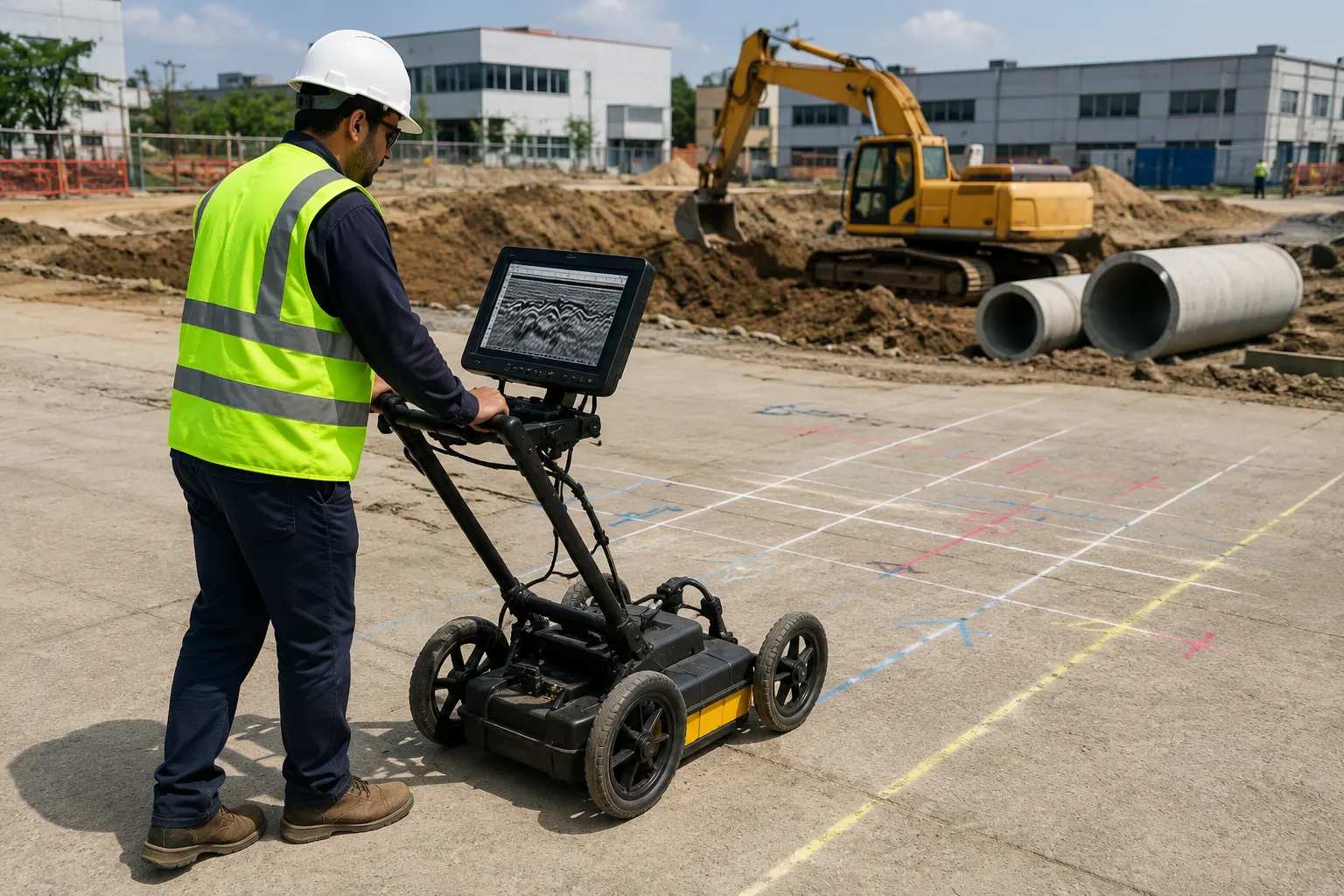
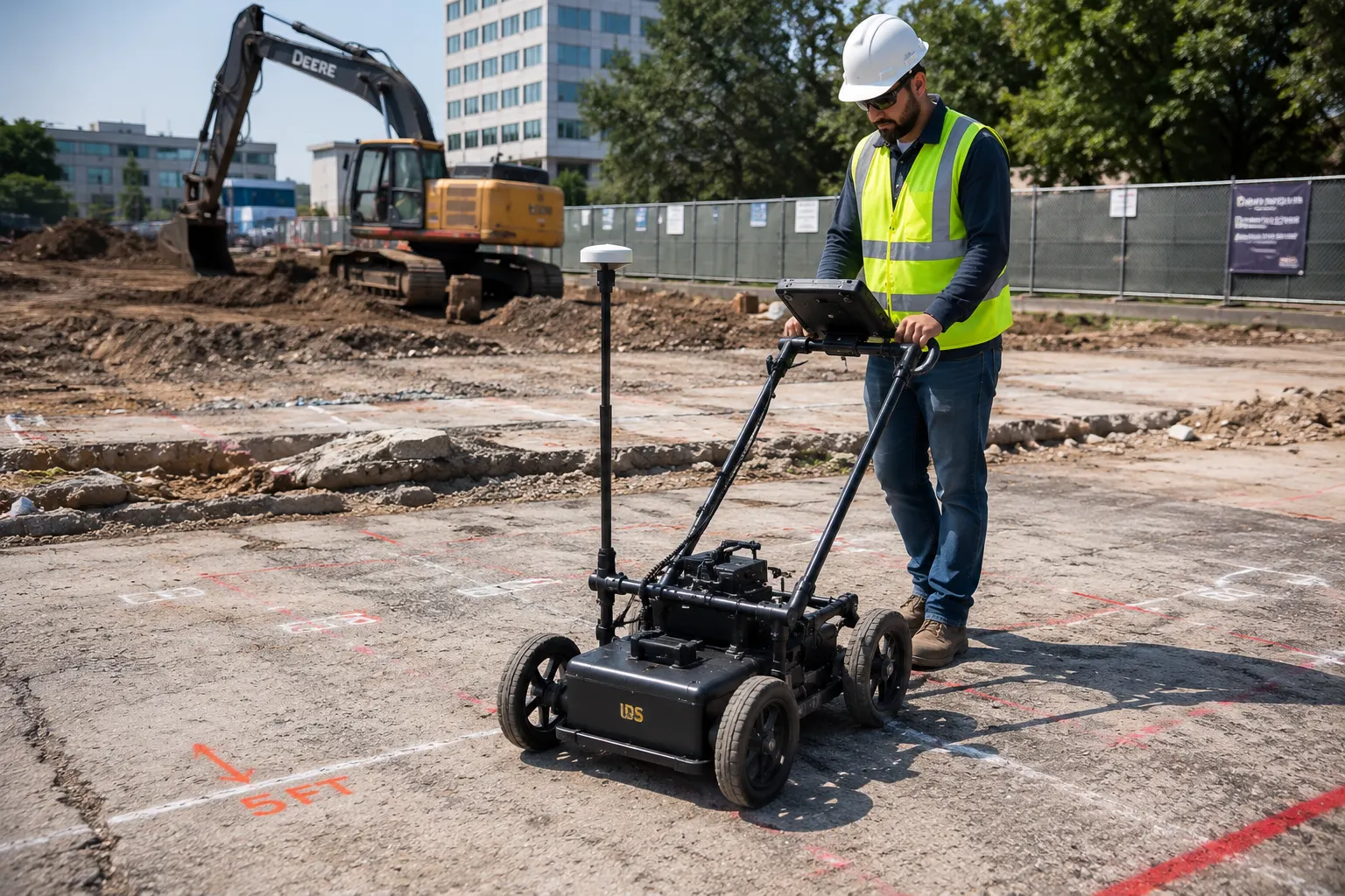
The GPR antenna is moved systematically across the survey area. Depending on the site, scanning may be performed along multiple directions or using a defined grid to improve the interpretation of subsurface features.
3. Data Processing and Interpretation
Recorded radar responses are reviewed to identify significant subsurface anomalies and potential buried features. Depth estimates are interpreted using appropriate site and equipment parameters.
4. Field Marking and Verification
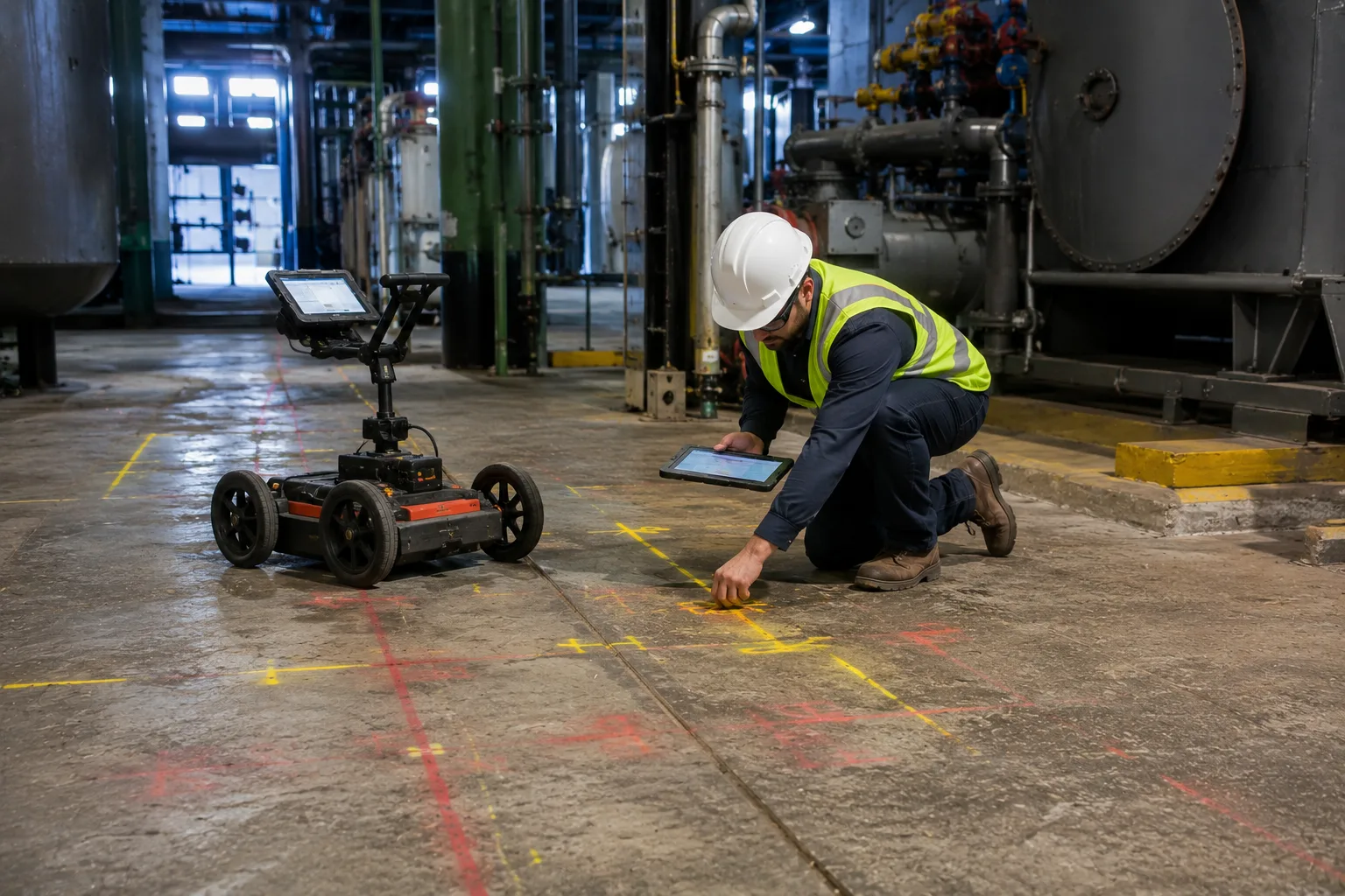
Where required within the project scope, detected features can be marked on the ground so that the excavation team can relate the survey findings directly to the work area.
5. Survey Reporting
The final deliverables may include interpreted scan data, marked locations, approximate depths, survey observations and recommendations relevant to the planned excavation work.
Factors That Affect GPR Survey Results
GPR performance is strongly influenced by the physical and electrical properties of the ground. The same equipment may produce different results at different sites, so survey interpretation must always consider actual field conditions.
- Soil conductivity: highly conductive soils can attenuate radar signals and reduce penetration.
- Moisture conditions: changes in moisture can affect electromagnetic signal behaviour.
- Target depth and size: deeper or smaller targets can be more difficult to identify.
- Antenna frequency: frequency selection involves balancing penetration depth and resolution.
- Surface conditions: rough, obstructed or inaccessible surfaces can affect scanning coverage.
For this reason, GPR results should be interpreted by experienced personnel rather than relying only on automated radar responses.
GPR Survey vs. Trial Excavation
GPR and physical verification serve different purposes. GPR is a non-destructive investigation method that can cover an area without opening the ground. Trial excavation or other physical verification methods can provide direct confirmation of a specific underground feature.
In practical construction planning, GPR can therefore be used as an investigation and risk-reduction tool before intrusive work. Where a critical utility or structure requires positive physical confirmation, additional verification may still be appropriate based on the project requirements.
Where Is Pre-Excavation GPR Used?
Pre-excavation GPR surveys can be useful across a wide range of construction and infrastructure activities, particularly where existing underground conditions are uncertain.
- Foundation and basement excavation
- Utility trenching and pipeline installation
- Road and highway construction
- Metro and urban infrastructure projects
- Industrial plant expansion
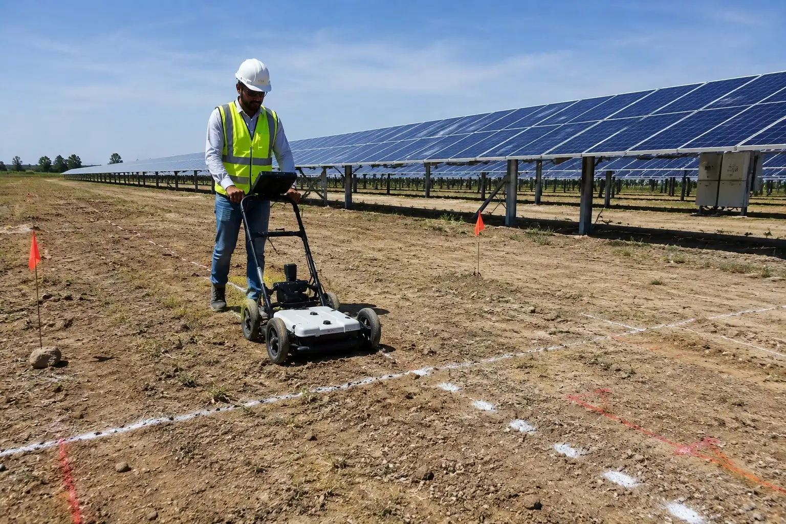
- Solar project construction
- Redevelopment and brownfield sites
- Drainage and sewer construction
- Excavation near existing buildings and infrastructure
What Information Can You Get From a GPR Survey?
The exact deliverables depend on the project scope and survey objective. A typical pre-excavation investigation may provide interpreted information such as:
- Potential underground utility locations
- Approximate depth estimates for detected features
- Alignment and continuity of significant subsurface responses
- Potential voids or anomalous zones
- Marked survey locations where included in the scope
- Processed radar profiles and interpretation notes
- Recommendations for further investigation where required
Who Should Consider a GPR Survey Before Excavation?
A pre-excavation GPR survey can be considered whenever construction activity involves disturbing an area where underground conditions are uncertain.
- Building and civil construction contractors
- Infrastructure and highway contractors
- Utility installation contractors
- Industrial and commercial project owners
- Solar EPC and infrastructure companies
- Developers undertaking redevelopment projects
- Engineering consultants and project management teams
Why Choose GeoSpectra for Pre-Excavation GPR Surveys?
GeoSpectra approaches GPR survey as part of the broader subsurface investigation process rather than simply collecting radar scans. The survey scope is planned around the project requirement, site conditions and information needed by the construction team.
- GPR investigation for construction and infrastructure applications
- Site-specific survey planning based on the excavation requirement
- Interpretation of subsurface responses by an experienced technical team
- Clear reporting and survey observations for project planning
- Support for utility mapping, foundation excavation and infrastructure investigation requirements
Plan the Excavation Before You Break Ground
Excavation becomes significantly easier to plan when the project team has a better understanding of the subsurface conditions. A GPR survey can help identify potential utilities, buried structures, voids and other subsurface anomalies before excavation begins, reducing uncertainty and supporting safer construction planning.
If you are planning trenching, foundation excavation, utility installation, road work or infrastructure construction, GeoSpectra can assess your site requirements and recommend an appropriate GPR survey approach.