Published by GeoSpectra Geotechnical Pvt. Ltd.
Underground Utility Mapping Services: Complete Subsurface Utility Detection
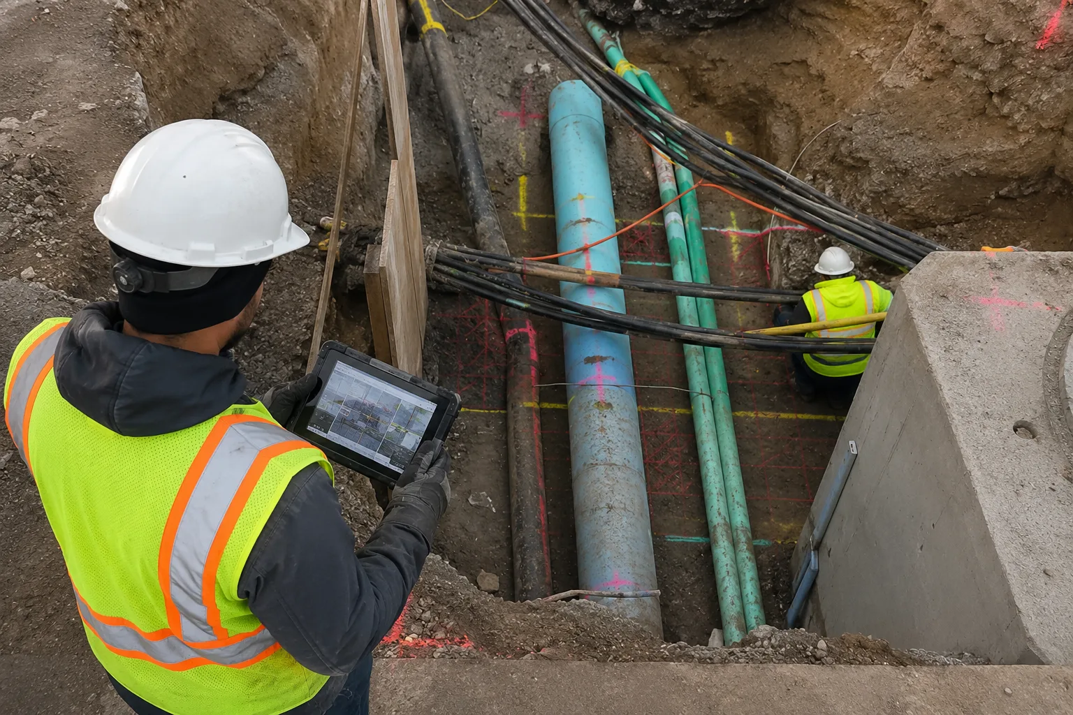
Before excavation, road construction, foundation work or underground infrastructure installation begins, project teams need to know what already exists below the ground. Water pipelines, drainage lines, electrical cables, telecom ducts and other buried services may not be accurately shown in available drawings or records.
Underground utility mapping is a non-destructive subsurface investigation process used to locate and trace buried utilities and other subsurface features before construction activity begins. Ground Penetrating Radar (GPR) can be combined with available utility records, site information and other suitable detection methods to develop a clearer picture of underground conditions.
GeoSpectra provides underground utility mapping services across India for construction, infrastructure, road, metro, industrial, commercial and excavation projects. Our surveys are planned according to the site, project requirements and expected subsurface conditions.
What is Underground Utility Mapping?
Underground utility mapping is the process of locating, tracing and documenting buried utility services within a defined project area or corridor. The objective is to provide construction and design teams with useful information about the approximate position, alignment and depth of detected underground features before excavation or other intrusive work begins.
Depending on the project, utility mapping may involve GPR scanning, electromagnetic utility locating, review of available utility drawings, surface observations and on-site verification. The appropriate method depends on the type of utility, ground conditions, survey objective and site accessibility.
Why is Underground Utility Mapping Important?
Existing utility information is not always complete or accurate, particularly on older developed sites where infrastructure has been modified over time. A field-based utility survey provides an additional source of information before excavation and helps project teams identify potential conflicts during planning.
- Helps reduce the risk of accidental utility strikes
- Supports safer excavation and construction planning
- Helps identify potential conflicts between utilities and proposed works
- Supports utility relocation and diversion planning
- Provides field information where existing records are incomplete
- Helps reduce delays caused by unexpected underground conditions
What Utilities Can Be Detected?
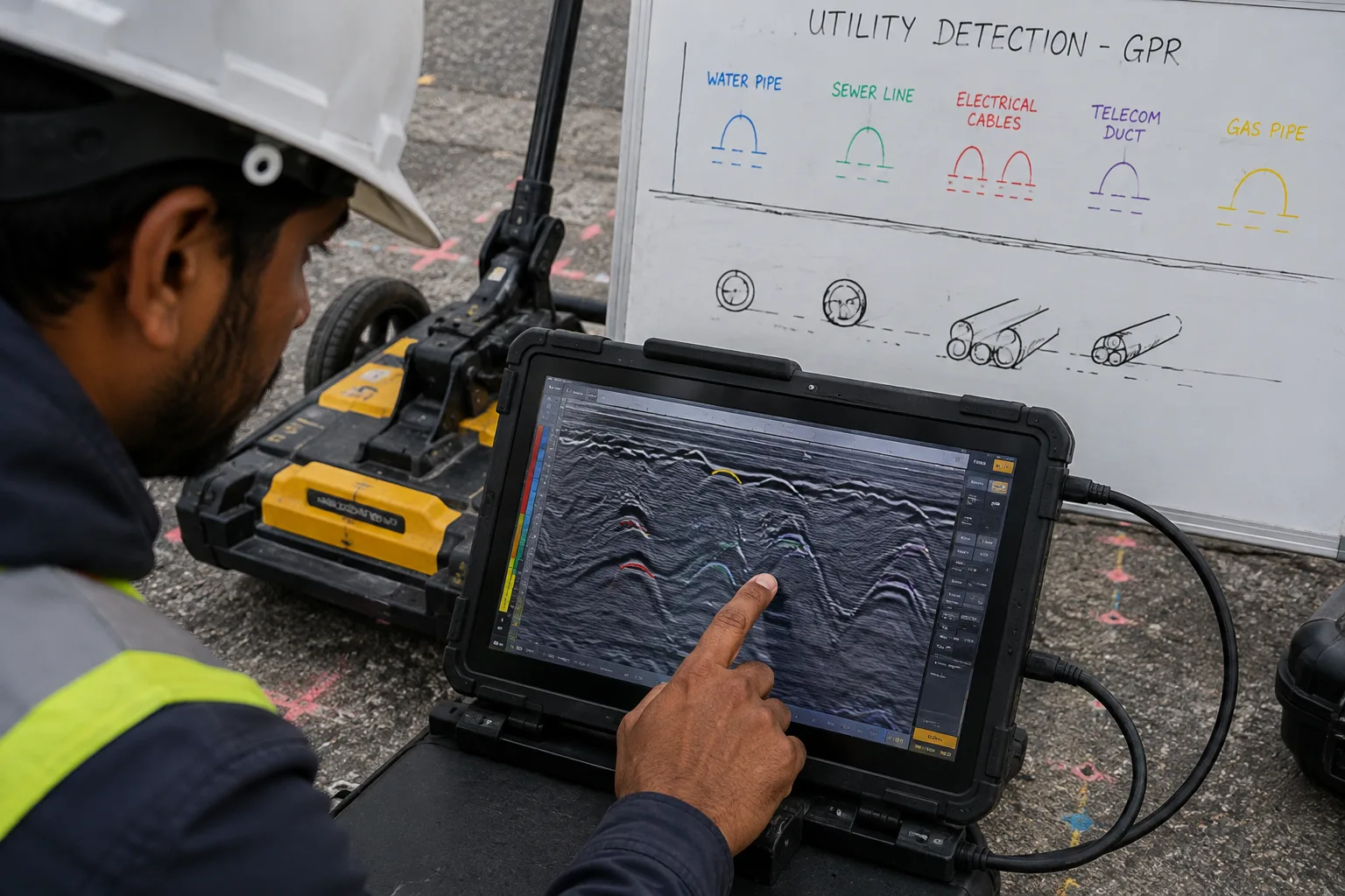
GPR-based utility surveys can identify subsurface responses associated with a range of buried services. Detection capability depends on utility material, size, depth, orientation, ground conditions, antenna frequency and other site factors.
- Water supply and distribution pipelines
- Sewer and stormwater drainage lines
- Electrical cables and underground power ducts
- Telecommunication and fibre-optic ducts
- Gas and other service pipelines
- Concrete, PVC and other non-metallic buried pipes
- Buried ducts, chambers and other subsurface features
Methods Used in Underground Utility Mapping
No single detection method is suitable for every site. GeoSpectra evaluates the project requirements and available information before selecting the appropriate survey approach.
Ground Penetrating Radar (GPR)
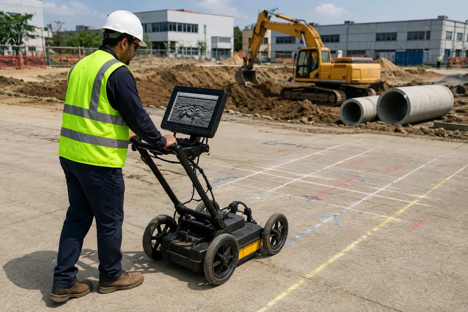
GPR transmits electromagnetic pulses into the ground and records reflected signals from changes in subsurface materials. It is useful for investigating buried pipes, ducts, cables, voids and other subsurface features without excavation.
Utility Records and Existing Drawings
Available utility drawings, as-built records and information supplied by the client can be reviewed alongside field survey observations. Comparing records with field data helps identify discrepancies that may require further investigation.
On-Site Utility Marking
Detected utility alignments can be marked on the ground to provide practical reference information for construction and excavation teams.
Data Interpretation and Mapping
Survey data is reviewed and interpreted to identify relevant subsurface responses and prepare utility information in a format suitable for project planning and site coordination.
Our Underground Utility Mapping Process
GeoSpectra follows a structured field-to-report workflow so that the survey information can be used directly by the project team.
- Site Assessment: Review the project area, proposed construction activities, access conditions and available utility information.
- Survey Planning: Define the survey limits, scanning lines and appropriate detection methods according to the project requirements.
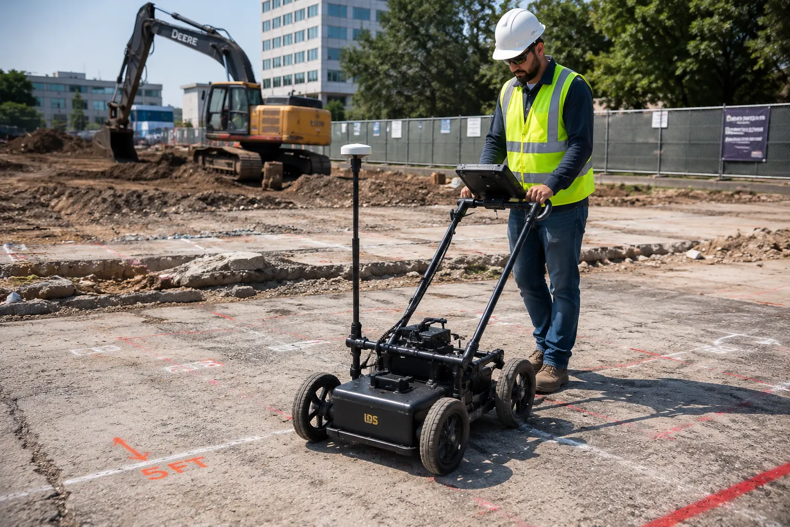
- GPR Scanning: Systematically scan the required area or utility corridor and record subsurface responses.
- Utility Tracing: Interpret detected responses and trace probable utility alignments across the survey area.
- Field Marking: Mark identified utility alignments and relevant subsurface features on the ground where required.
- Data Interpretation: Review the collected data together with available project information and identify potential utility conflicts.
- Mapping and Reporting: Prepare the applicable utility mapping information and survey report for project planning and construction use.
What Can Affect Underground Utility Detection?
GPR performance is influenced by ground and site conditions. Detection depth and clarity are not the same at every location, and the ability to identify a particular utility depends on several factors.
- Soil type and electrical properties
- Moisture and groundwater conditions
- Utility material, size and depth
- Utility orientation and surrounding materials
- Surface condition and accessibility
- Interference from other buried structures or services
For this reason, GPR results should be interpreted together with available site records, surface evidence and other relevant survey information. Where a critical underground asset affects construction, additional field verification may also be appropriate before excavation.
What You Receive After the Utility Mapping Survey
The final deliverables depend on the project scope and survey requirements. Typical outputs may include:
- Detected utility alignments and locations
- Approximate depth information where reliably interpreted
- On-site marking of identified utility routes
- GPR profiles and interpreted subsurface information
- Utility mapping drawings or marked-up plans where applicable
- Detailed survey report with observations and recommendations
Benefits of Underground Utility Mapping
- Reduces the risk of damaging existing underground services
- Improves excavation and construction planning
- Helps identify utility conflicts before work begins
- Supports infrastructure and utility coordination
- Reduces unexpected site interruptions and construction delays
- Provides documented subsurface information for project reference
- Reduces the need for unnecessary exploratory excavation in suitable areas
Applications of Underground Utility Mapping
Underground utility mapping is particularly useful where existing infrastructure may affect proposed construction or excavation. GeoSpectra supports utility mapping requirements across a range of project environments.
- Pre-construction site investigation
- Road and highway construction or widening
- Metro and urban infrastructure corridors
- Pipeline and utility corridor projects
- Industrial and commercial facility expansion
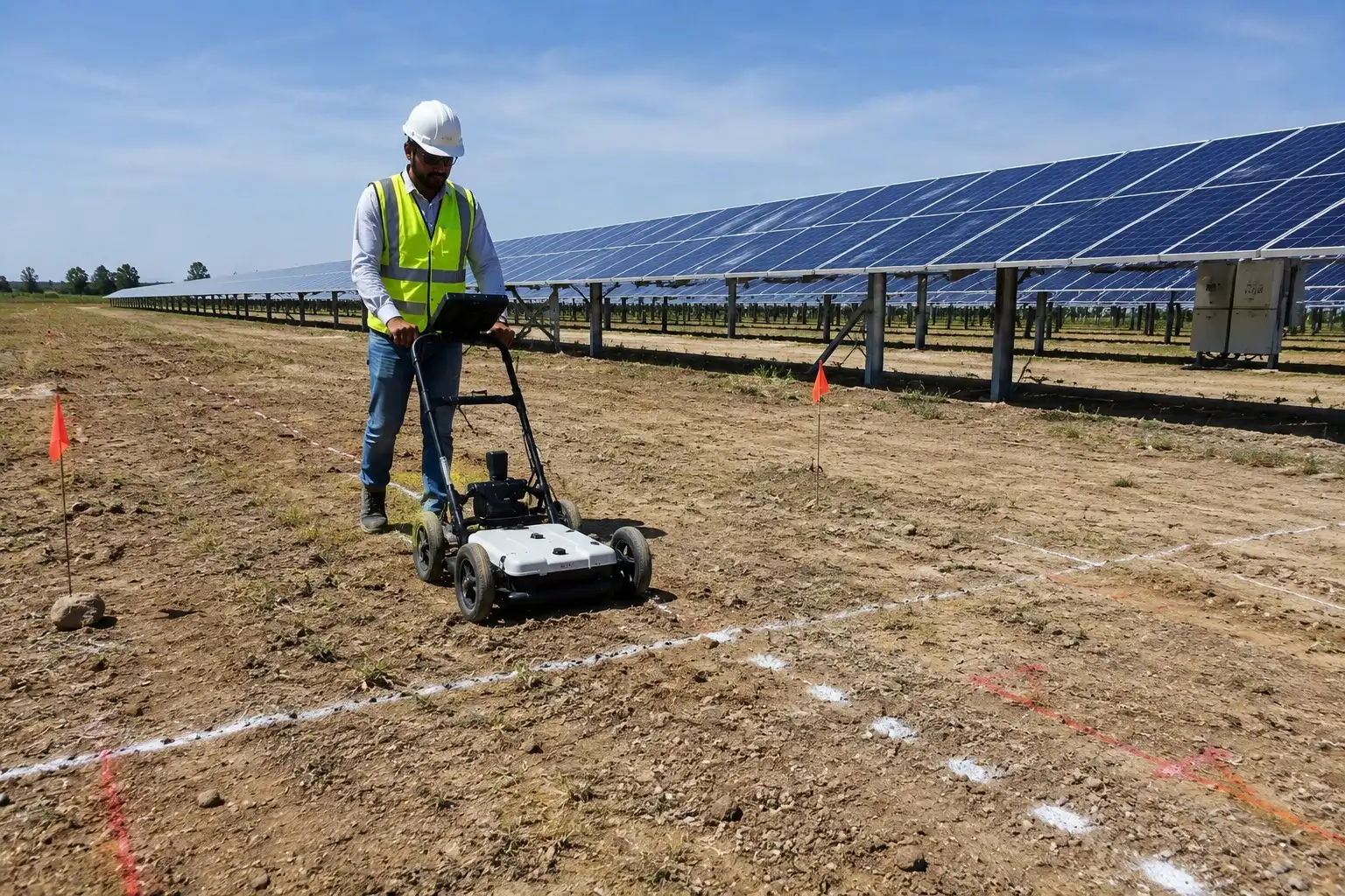
- Solar plant and renewable energy development
- Utility relocation and diversion planning
- Foundation and excavation planning
- Trenching and underground infrastructure installation
Get Started
Planning a construction, road, metro, industrial or excavation project? Before breaking ground, understand the underground conditions that may affect your work. Contact GeoSpectra to discuss your site requirements and schedule an underground utility mapping survey.