Published by Geospectra Geotechnical Pvt. Ltd.
GPR Survey for Metro Infrastructure: Underground Utility & Subsurface Investigation
Metro rail projects involve construction in highly developed urban areas where existing roads, buildings, utility networks and underground structures can create significant construction challenges. Before excavation, tunnelling, station construction or other subsurface work begins, project teams need a clear understanding of what may be present below the ground.
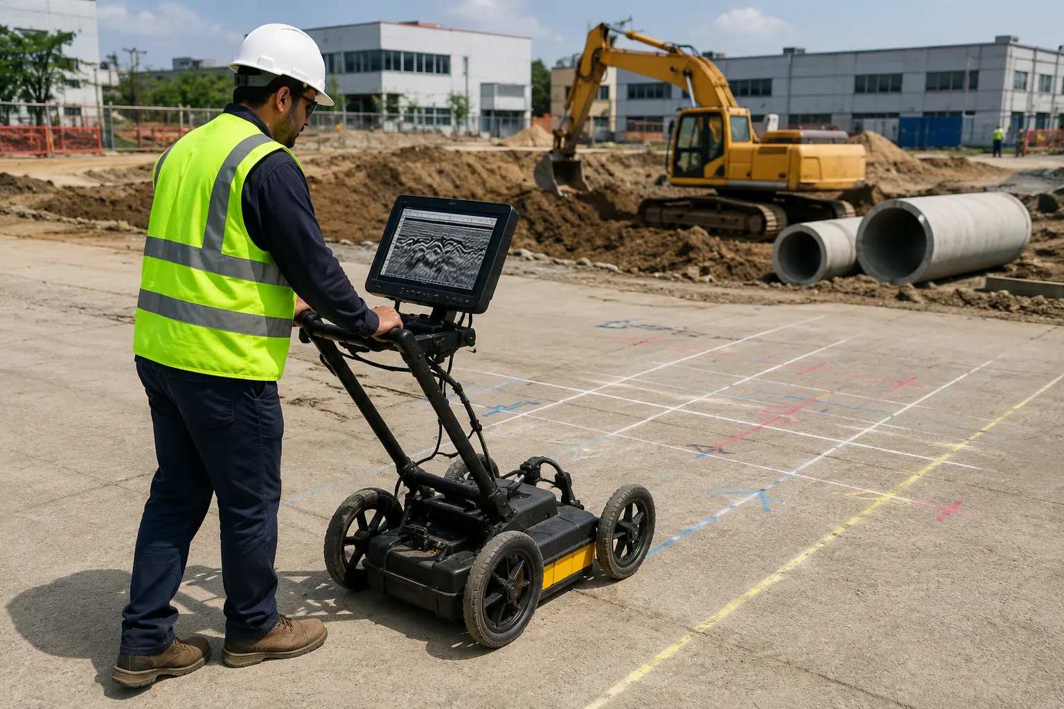
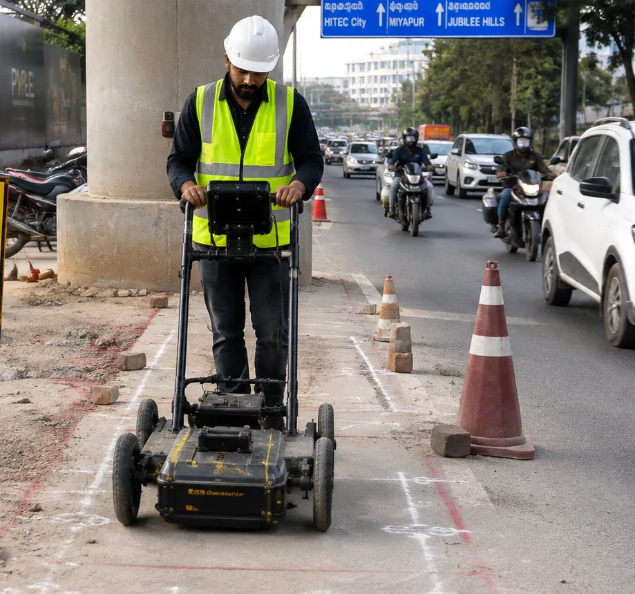
Ground Penetrating Radar (GPR) survey provides a non-destructive method for investigating near-surface conditions and identifying subsurface features without extensive excavation. Depending on site conditions and survey requirements, GPR can help locate underground utilities, identify voids and anomalies, investigate subsurface interfaces and support planning along metro corridors and station areas.
GeoSpectra provides GPR survey services for metro, transportation and infrastructure projects across India, helping project teams obtain reliable subsurface information before excavation and construction activities.
What Is GPR Survey for Metro Infrastructure?
Ground Penetrating Radar is a geophysical non-destructive survey technique that uses electromagnetic radar pulses to investigate the shallow subsurface. When the radar signal encounters a change in material or an underground object, part of the signal is reflected back to the receiving antenna. These reflections are recorded and processed to develop a subsurface profile for engineering interpretation.
For metro infrastructure projects, the technique can be useful where conventional excavation or trial pits would cause disruption to roads, traffic or existing services. GPR data can be combined with available utility records, surface observations and other survey methods to improve understanding of the project corridor.
Why Is GPR Important for Metro Construction?
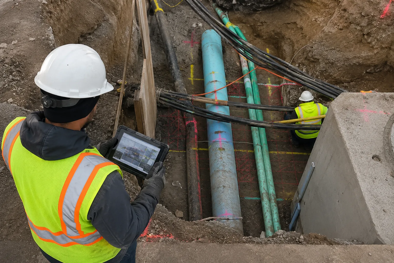
Metro construction frequently takes place in congested urban environments where several underground services may occupy the same corridor. Existing utility drawings may also be incomplete, outdated or different from actual site conditions.
A GPR survey before excavation can provide additional subsurface information that helps engineers identify potential conflicts and plan investigation or construction activities more safely.
- Helps identify buried utilities before excavation
- Supports planning around existing underground infrastructure
- Helps identify subsurface voids and unusual anomalies
- Reduces unnecessary trial excavation in selected areas
- Supports safer station, road and corridor construction planning
- Provides subsurface information for engineering interpretation
Applications of GPR Survey in Metro Projects
GPR can be applied at different stages of metro infrastructure development, depending on the project requirements and subsurface conditions.
Underground Utility Mapping
GPR can help investigate the presence and approximate location of buried pipes, ducts, cables and other subsurface features along proposed metro corridors, station approaches and construction zones.
Metro Station Construction
Before excavation and foundation-related activities, GPR can be used to investigate shallow subsurface conditions around proposed station areas. This information can help identify potential underground obstructions requiring further investigation.
Tunnel and Underground Corridor Investigation
For underground metro construction, understanding subsurface conditions is important when planning excavation and tunnelling activities. GPR can provide information about shallow lithological changes, buried objects, voids and other radar-detectable anomalies where site conditions are suitable.
Road and Utility Corridor Surveys
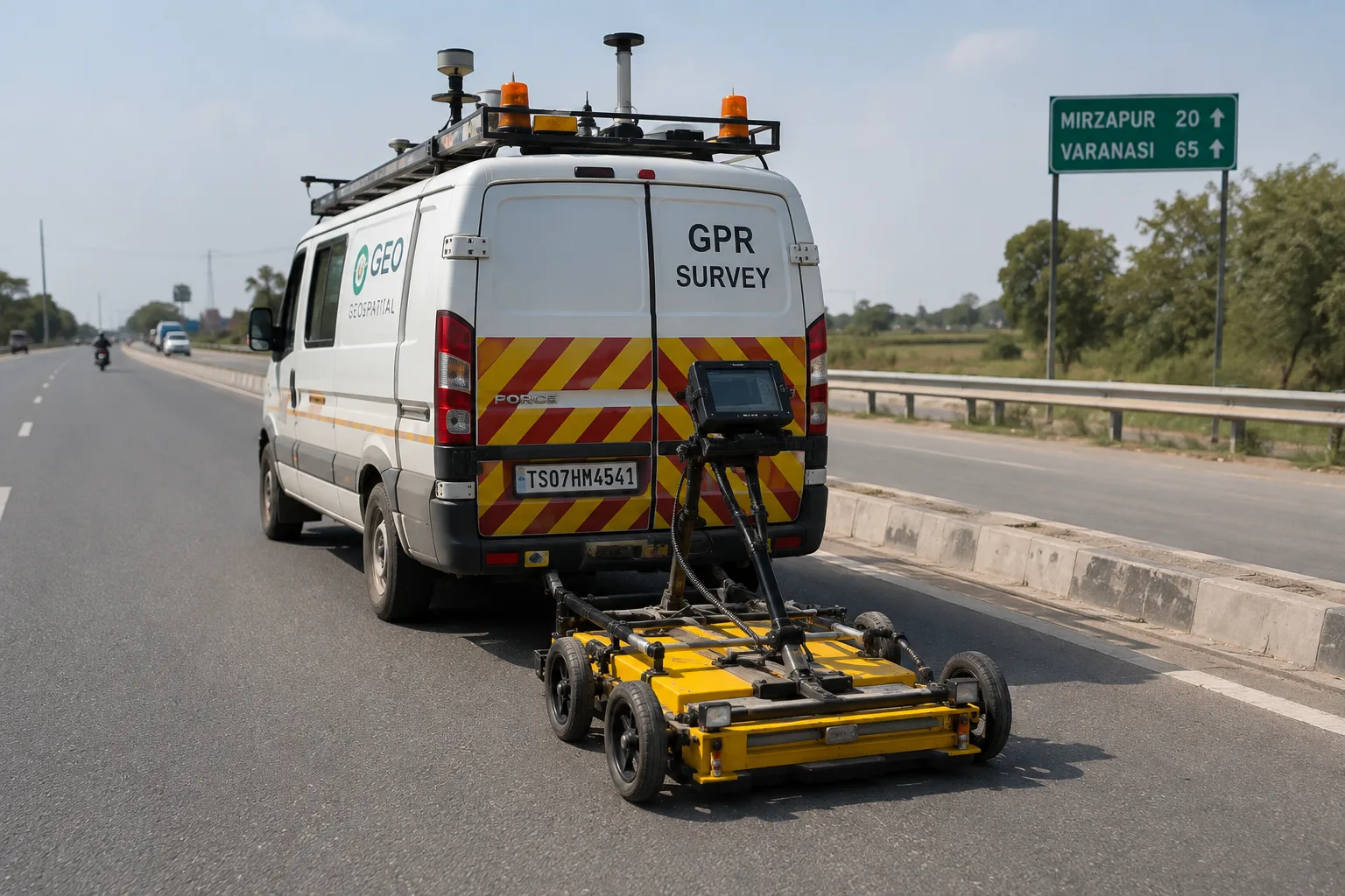
Metro construction often requires work within existing roads and urban corridors. GPR can support investigation of underground services before road cutting, excavation, utility relocation and related construction work.
What Can GPR Detect During Metro Infrastructure Surveys?
The features detectable by GPR depend on soil conditions, material properties, target size, antenna frequency, survey configuration and depth. Typical targets may include:
- Water and drainage pipes
- Electrical and communication cables or ducts
- Concrete and other buried structures
- Voids and cavities
- Changes between subsurface material layers
- Buried foundations and construction remnants
- Other radar-detectable subsurface anomalies
GPR Survey Process for Metro Infrastructure
A metro GPR survey normally begins with a review of the proposed work area, available drawings and the specific information required by the project team. The survey is then planned according to site access, target depth, surface conditions and the required level of investigation.
- Site assessment: Review the proposed metro corridor, station area or excavation zone.
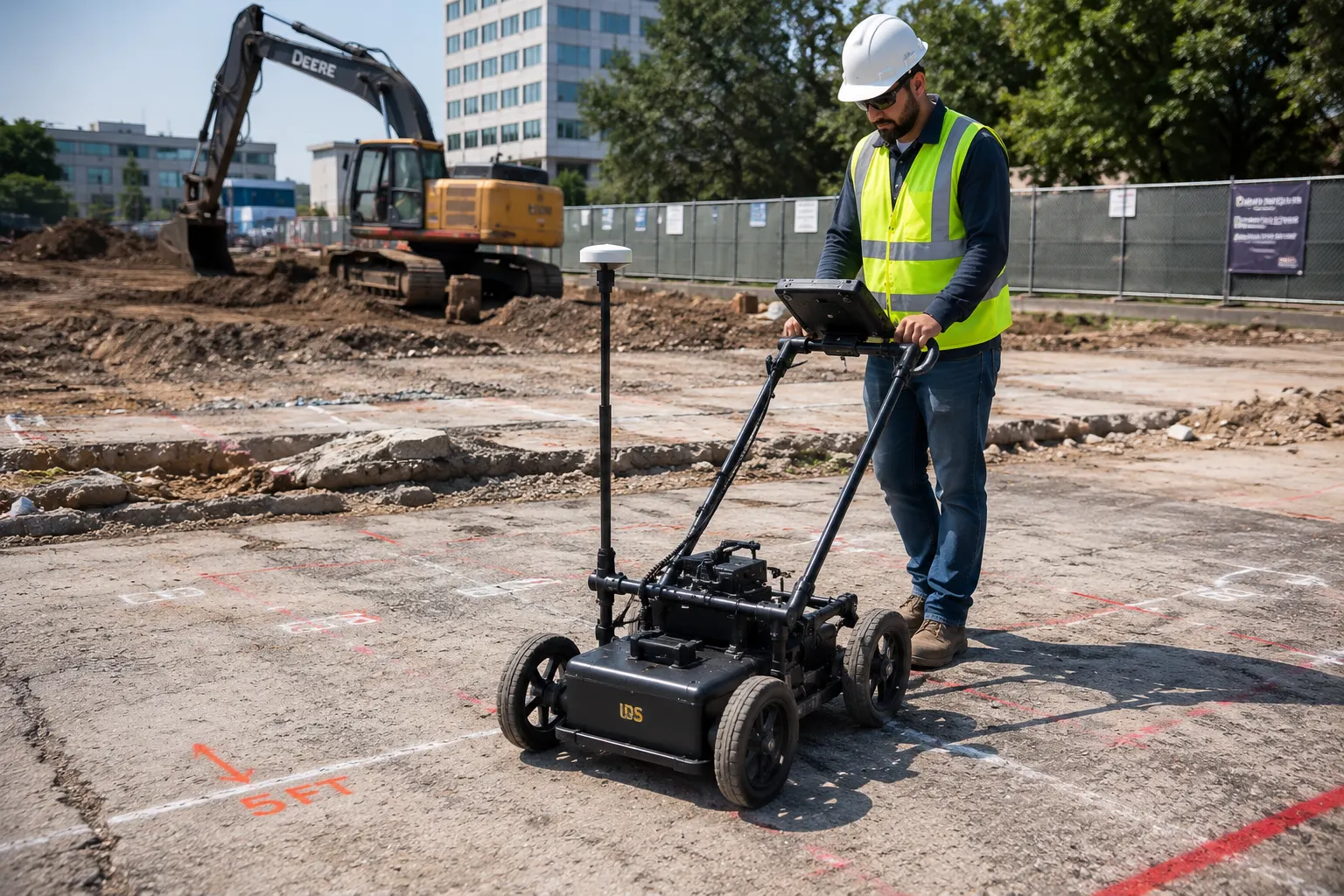
- Survey planning: Select suitable survey lines, grid spacing and GPR equipment based on the investigation objective.
- Data acquisition: Collect GPR data systematically across the designated survey area.
- Data processing: Process the collected radar data and identify significant subsurface responses.
- Engineering interpretation: Interpret the radar responses together with available site information and project data.
- Reporting: Provide survey findings, interpreted locations and relevant observations for project planning.
GPR Survey Limitations in Metro Projects
GPR performance depends strongly on ground conditions and the properties of the materials being investigated. Clay-rich or highly conductive soils, moisture conditions, depth and target size can affect radar penetration and the quality of the recorded response.
GPR results should therefore be interpreted by experienced personnel and, where necessary, supported by other investigation methods, existing utility records and site verification. GPR should not be treated as a replacement for every other utility or geotechnical investigation method.
GPR Survey Deliverables for Metro Projects
The final deliverables depend on the project scope and survey objective. Typical outputs may include processed GPR profiles, interpreted subsurface features, utility locations, depth estimates where technically appropriate, marked survey areas and a technical report summarising the findings.
- Processed GPR survey profiles
- Interpreted underground utility locations
- Approximate depth information where reliable
- Subsurface anomaly identification
- Survey drawings or marked-up plans as required
- Technical survey report
GPR Survey Services for Metro & Infrastructure Projects
GeoSpectra Geotechnical Pvt. Ltd. provides GPR survey and subsurface investigation support for infrastructure and construction projects across India. Our approach focuses on collecting usable field data and presenting the findings in a practical format for engineers, contractors and project teams.
For metro corridors, station construction, road approaches, utility relocation and other infrastructure works, GPR investigation can provide valuable additional information before excavation and other subsurface activities begin.