Published by GeoSpectra Geotechnical Pvt. Ltd.
GPR Survey for Road Construction: Pavement, Utility & Subgrade Assessment
Road construction, widening and rehabilitation projects require reliable information about existing pavement layers and subsurface conditions. Unknown utility lines, changes in pavement thickness, buried structures and subsurface anomalies can affect excavation planning, construction sequencing and project cost.
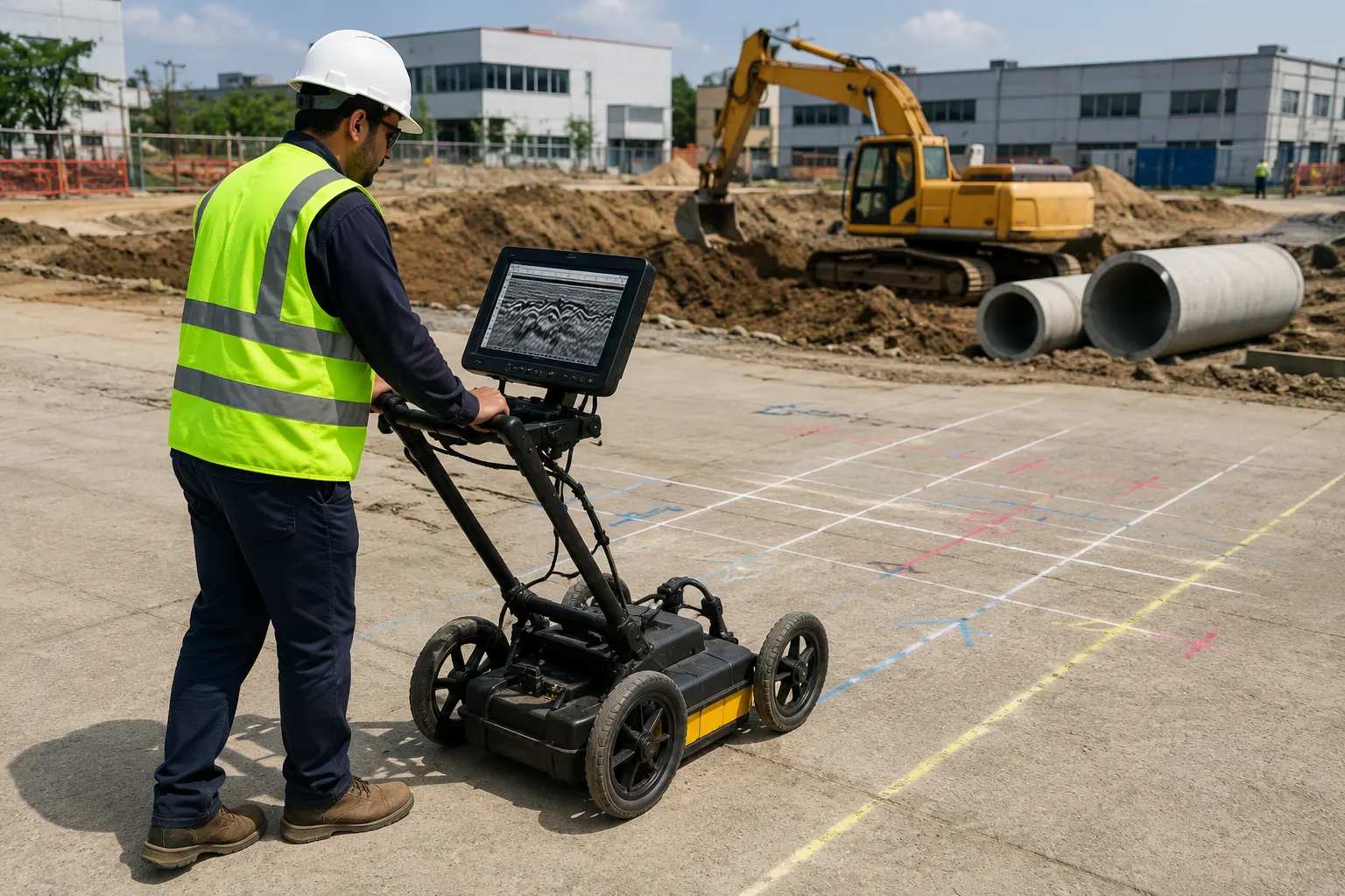
Ground Penetrating Radar (GPR) provides a non-destructive method for investigating pavement and near-surface conditions without extensive excavation or core cutting. Depending on the survey objective and site conditions, GPR can be used to investigate pavement layer thickness, subsurface interfaces, buried utilities and other anomalies along a road corridor.
GeoSpectra provides GPR survey services for road and infrastructure projects across India, supporting pavement assessment, utility mapping, road widening and rehabilitation planning.
What Is GPR Survey for Road Construction?
Ground Penetrating Radar is a geophysical non-destructive testing technique that transmits electromagnetic energy into the pavement and near-surface ground. Reflections occur when the radar signal encounters boundaries between materials with different electrical properties.
The recorded radar response can then be processed and interpreted to identify pavement layer interfaces, estimate layer thickness and locate subsurface features where the survey conditions are suitable.
For road projects, GPR is particularly useful because data can be collected continuously along a survey line or road corridor, providing information between conventional investigation points.
Why Use GPR Before Road Construction?
Before widening, resurfacing or reconstructing a road, engineers often need to understand the existing pavement and identify potential subsurface constraints. GPR can provide rapid non-destructive information that supports this preliminary assessment.
- Assess existing pavement layer thickness.
- Identify changes in pavement structure along the road corridor.
- Investigate subsurface anomalies and possible voided areas.
- Support underground utility investigation before excavation.
- Reduce unnecessary investigation points by identifying areas requiring further verification.
- Support rehabilitation, widening and resurfacing planning.
GPR for Pavement Layer Thickness Assessment
Pavement thickness is an important input for rehabilitation and overlay planning. GPR can provide a continuous profile of pavement layer interfaces along the surveyed road section, helping engineers understand how pavement construction varies between investigation points.
GPR is widely used for asphalt pavement thickness assessment. However, the reliability of thickness interpretation depends on factors such as pavement composition, dielectric properties, moisture conditions, antenna configuration and data processing methodology.
Where required, selected core locations can be used to verify and calibrate GPR-based thickness interpretation.
GPR for Underground Utility Mapping Along Roads
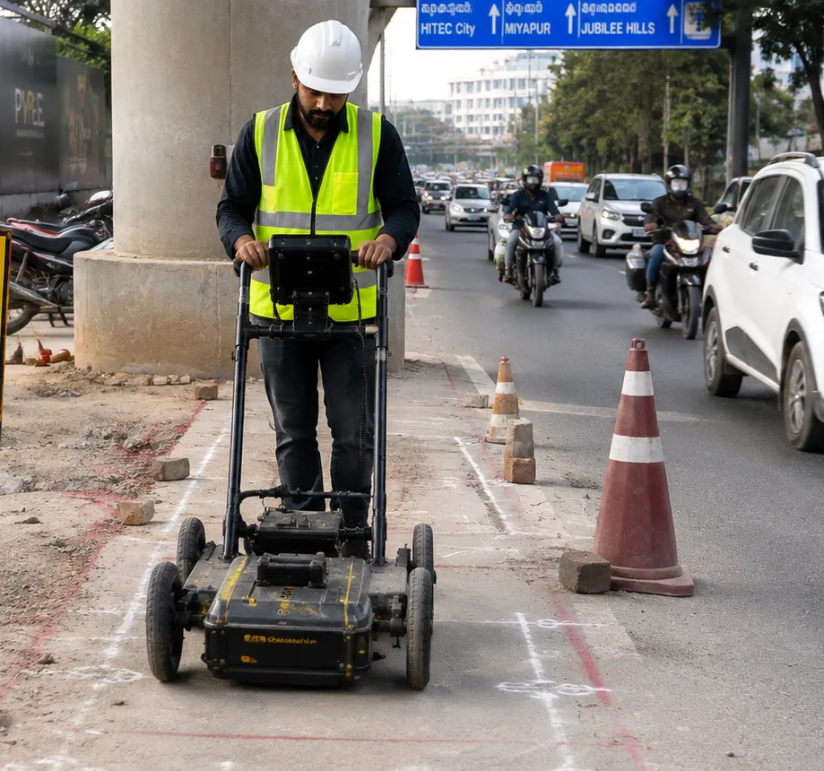
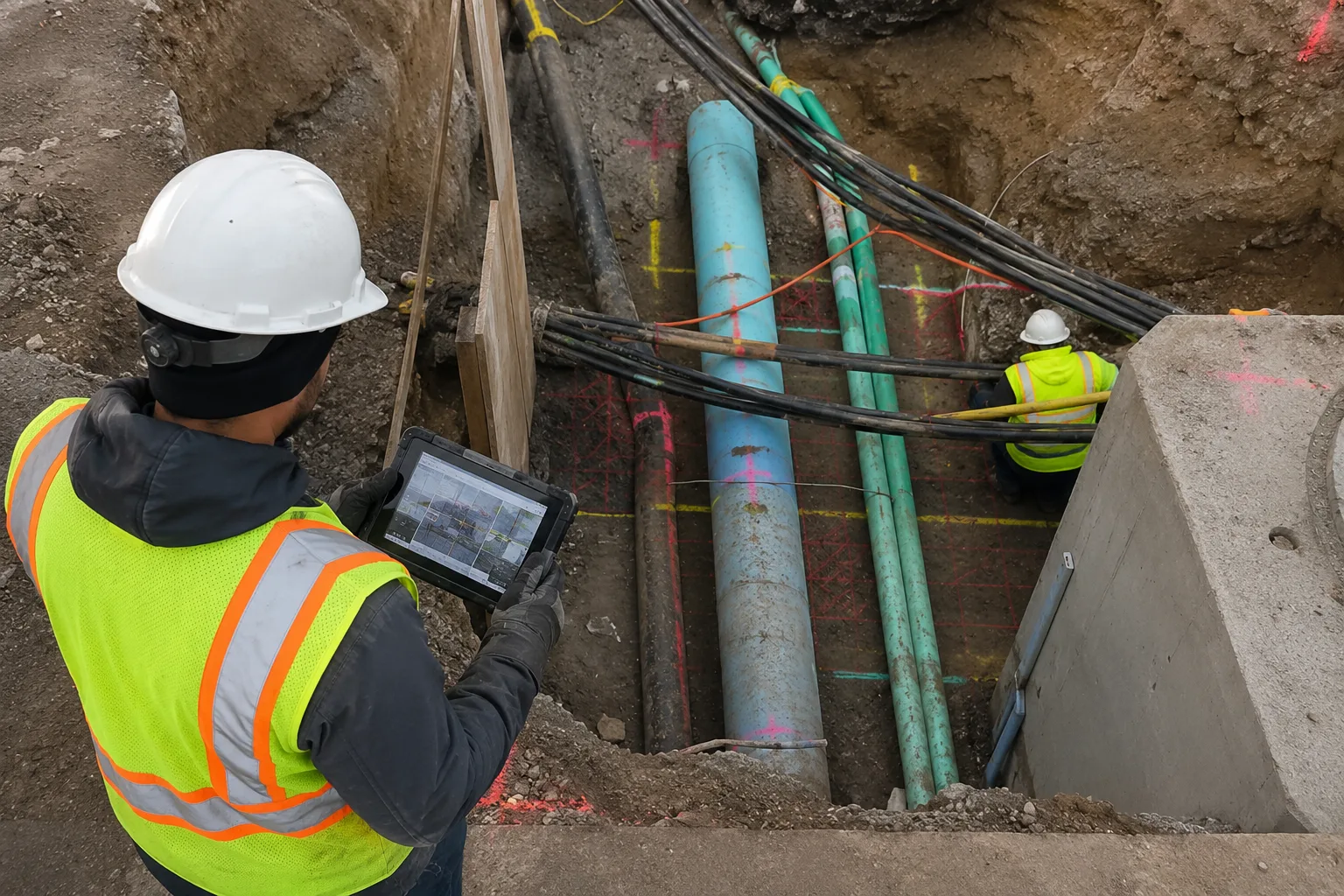
Road widening and infrastructure projects frequently encounter existing water pipelines, drainage lines, electrical services, telecom ducts and other buried infrastructure. GPR can support non-destructive investigation of these subsurface features before excavation.
The survey can be planned along the proposed construction corridor to identify anomalous responses and potential utility alignments. Detected features should be interpreted with available utility drawings, surface evidence and, where necessary, complementary investigation methods.
This approach helps project teams identify areas requiring additional verification before excavation or utility relocation work begins.
What Can GPR Investigate on Road Projects?
Depending on the pavement structure, soil conditions, equipment and survey objective, GPR can be used to investigate a range of pavement and subsurface features.
- Asphalt and pavement layer thickness.
- Changes in pavement layer construction.
- Subsurface interfaces and anomalies.
- Possible voids beneath pavement structures.
- Buried pipes, ducts and utility features.
- Old pavement layers beneath resurfaced roads.
- Selected structural elements such as reinforcement or dowel locations where applicable.
GPR results are interpreted according to the survey objective and site conditions. A radar response should not automatically be treated as a confirmed utility, void or material defect without appropriate engineering interpretation and, where necessary, ground-truth verification.
GPR Survey Process for Road Projects
A road GPR survey is planned according to the project objective, road geometry, traffic conditions and expected subsurface features. A typical workflow includes:
- Project and site assessment: Review road alignment, available drawings, survey objectives and site constraints.
- Survey planning: Define survey lines, chainages, grid or corridor coverage and suitable GPR equipment.
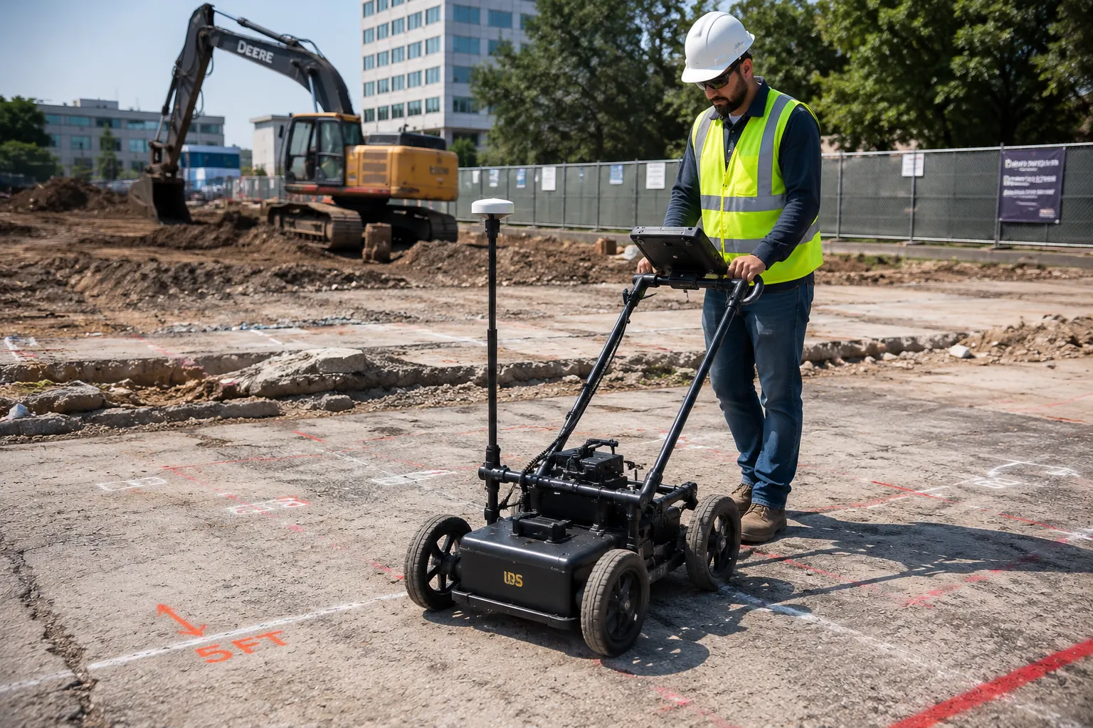
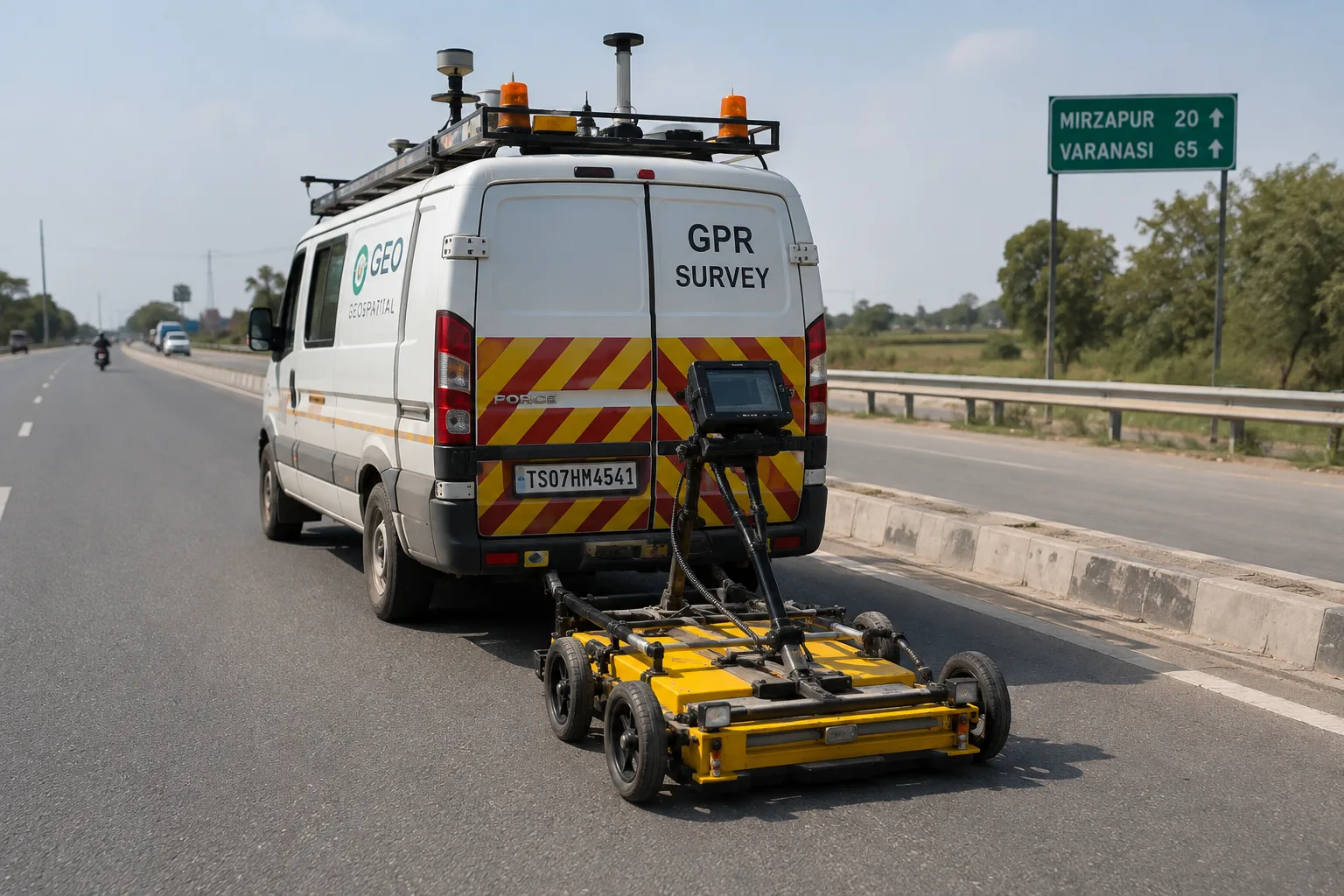
- GPR data acquisition: Collect radar data along the selected road sections using a vehicle-mounted or ground-coupled system as appropriate.
- Data processing: Process the collected radar data to improve signal quality and identify relevant subsurface responses.
- Engineering interpretation: Interpret pavement interfaces, thickness variations, utilities and other relevant anomalies.
- Verification and reporting: Where required, correlate findings with cores, drawings, trial pits or other investigation information and prepare the final survey report.
Air-Coupled vs Ground-Coupled GPR for Road Surveys
GPR systems used for pavement investigation can broadly include air-coupled and ground-coupled configurations. The appropriate system depends on the survey objective, required resolution, survey speed and pavement conditions.
Air-Coupled GPR
Air-coupled systems operate above the pavement surface and can support rapid data collection over longer road sections. They are particularly useful where continuous coverage and survey speed are important.
Ground-Coupled GPR
Ground-coupled systems operate close to or in contact with the surface and can provide higher-resolution investigation for selected applications. They may be used where more detailed investigation is required.
Equipment selection should therefore be based on the pavement structure, target depth, expected features and project requirements rather than using one GPR configuration for every road survey.
Benefits of GPR Survey for Road Projects
- Non-destructive investigation: Provides subsurface information without extensive excavation.
- Continuous coverage: Allows investigation between conventional point-based tests.
- Rapid data collection: Suitable for long road corridors when appropriately planned.
- Supports pavement assessment: Helps identify layer thickness variations and subsurface anomalies.
- Supports utility investigation: Helps identify potential buried services before excavation.
- Improves investigation planning: Helps identify locations where additional ground-truth testing may be appropriate.
Limitations of GPR Survey for Road Construction
GPR is a powerful non-destructive investigation method, but its effectiveness depends on site and material conditions. Highly conductive materials, moisture, groundwater, signal attenuation and insufficient contrast between adjacent layers can affect radar penetration and interpretation.
For this reason, GPR findings should be interpreted by experienced personnel and, where required, correlated with pavement cores, trial pits, boreholes, utility records or other appropriate investigation methods.
GPR should therefore be considered a complementary investigation tool, not a universal replacement for conventional pavement or geotechnical testing.
GPR Survey vs Pavement Core Sampling
GPR and pavement core sampling serve different but complementary purposes. GPR can provide continuous information along a road section, while cores provide direct physical verification at selected locations.
| Parameter | GPR Survey | Core Sampling |
|---|---|---|
| Surface damage | Non-destructive | Requires pavement cutting |
| Coverage | Continuous along survey lines | Selected point locations |
| Pavement thickness | Estimated/interpreted continuously | Direct measurement at core locations |
| Subsurface anomalies | Can indicate anomalous zones | Limited to sampled locations |
| Ground verification | Indirect | Direct physical sample |
In many road investigation programs, GPR and conventional testing can be used together. GPR helps identify spatial variations and areas of interest, while cores and other tests provide direct verification where required.
Applications of GPR in Road & Highway Projects
- New highway construction investigation.
- Urban road widening projects.
- Pavement rehabilitation and resurfacing.
- Overlay design support.
- Road corridor utility investigation.
- Utility relocation planning.
- Flyover and bridge approach road assessment.
- Investigation of existing pavement structures.
- Subsurface anomaly and void investigation.
GPR Survey Deliverables for Road Projects
The final deliverables depend on the project scope and survey objectives. A road GPR investigation may include:
- Survey alignment and chainage information.
- Pavement layer thickness profiles.
- Interpreted GPR radargrams.
- Potential utility locations and alignments.
- Subsurface anomaly locations.
- Annotated survey drawings where applicable.
- Processed GPR data and interpretation records.
- Technical survey report with observations and recommendations.
GPR Survey for Indian Road & Infrastructure Projects
Road corridors in India frequently involve existing utilities, multiple pavement layers, drainage infrastructure and ongoing construction activity. Before widening, resurfacing or reconstruction, understanding the existing subsurface environment can help project teams plan investigation and excavation more effectively.
GeoSpectra supports road and infrastructure projects with GPR, pavement and geotechnical investigation services, helping clients combine non-destructive subsurface assessment with appropriate conventional testing where required.
How to Choose a GPR Survey Provider for Road Projects
Road GPR projects can involve long survey corridors, live traffic, large datasets and multiple engineering objectives. The service provider should therefore have experience not only in data collection but also in processing and engineering interpretation.
- Experience with road and pavement investigations.
- Appropriate GPR equipment for the project objective.
- Experience with vehicle-mounted and ground-coupled surveys where required.
- Capability to process and interpret large survey datasets.
- Ability to correlate GPR findings with available project information.
- Clear technical reporting and survey documentation.
- Understanding of pavement and geotechnical engineering requirements.
Conclusion
GPR survey can provide valuable non-destructive information for road construction, widening and rehabilitation projects. By investigating pavement layer thickness, subsurface interfaces, potential utilities and other anomalies, GPR helps engineers understand variations along a road corridor before major construction activities begin.
The most reliable approach is to use GPR as part of an integrated investigation program, combining radar data with project drawings, field observations and conventional testing where necessary.
GeoSpectra provides GPR survey, pavement testing and geotechnical investigation services for road and infrastructure projects across India.